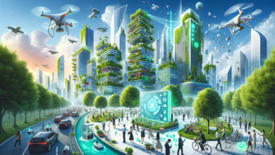
Remote sensing is a technology pivotal for vegetation management, enabling the observation and analysis of the Earth’s surface and atmosphere without direct contact. This approach is instrumental in various aspects of vegetation management, offering insights into land use changes, deforestation monitoring, and biodiversity assessments.
As the applications of remote sensing for vegetation management expand, incorporating advancements like AI and drones, it presents new opportunities and challenges in accurately monitoring and managing vegetation. This article delves into the evolution, current practices, and future prospects of using remote sensing in this field.
The Evolution of Remote Sensing for Vegetation Management
Remote sensing, the technique of acquiring information about objects or areas from a distance, typically from aircraft or satellites, has evolved significantly since its inception. Initially developed with the advent of photographic film and cameras in the mid-nineteenth century, remote sensing was primarily driven by military needs during significant conflicts such as the American Civil War and both World Wars. These early applications underscored the strategic importance of remote sensing, paving the way for more sophisticated technologies.
Post-World War II advancements focused on enhancing photographic equipment and interpretation methods, introducing thermal infrared and radar systems. This period also saw the development of mechanical systems designed to mount digital sensors into scanners, which facilitated the creation of image scan lines through the motion of the sensor or platform. The launch of NASA’s civilian satellites in the early 1960s, particularly the Landsat series in the 1970s, marked a pivotal shift towards using remote sensing for civilian applications such as Earth resource observation. These satellites offered resolutions from 80 meters to several kilometers, significantly enhancing the scope and accuracy of Earth observation.
Today, remote sensing technologies have diversified and include active sensing, passive sensing, and LiDAR, each providing unique benefits for various applications across industries like forestry, mining, and disaster management. The integration of these technologies into everyday management practices underscores their evolution from rudimentary photographic techniques to sophisticated tools essential for modern environmental management and planning. Satellite data, known for its ability to offer synoptic views and digital manipulation, continues to play a crucial role in land use planning and natural resource management, particularly highlighted by its extensive use in federal public lands in Alaska since the 1940s.
The Role of AI in Enhancing Satellite Imagery Analysis
The integration of Artificial Intelligence (AI) with remote sensing technologies has significantly enhanced the efficiency and accuracy of satellite imagery analysis, particularly in the realm of vegetation management. AI algorithms are adept at processing vast amounts of data from satellite images, enabling more precise identification and monitoring of vegetation health, growth patterns, and potential hazards.
Comprehensive Vegetation Management Systems:
- AiDash’s IVMS: This system leverages satellite data along with AI models to optimize vegetation management. It provides real-time risk identification, enhances prune cycles, and improves management of transmission rights-of-way (ROW).
- Research Applications in India: An AI-based system developed for regions like Jharkhand and Chhattisgarh uses deep learning to monitor vegetation and detect deforestation, showcasing the potential of AI in environmental conservation.
These advancements underscore the transformative impact of AI on remote sensing for vegetation management, making it a critical tool for ensuring the safety and efficiency of energy delivery and environmental conservation.
Case Study: Pilot Study Findings on Remote Sensing for UVM
In a groundbreaking pilot study conducted by Tulane University Law School’s Utility Vegetation Management Initiative (UVMI), the efficacy of satellite technology in utility vegetation management (UVM) was rigorously tested with compelling results. Covering approximately 70 square miles and involving 54.3 line miles of distribution line, the study revealed critical insights into the potential of remote sensing for vegetation management. Key findings from the study include:
- Detection Capabilities: Satellite technology identified 55 dangerous conflicts along distribution lines that would likely have been missed by human inspectors, averaging one critical issue per mile.
- Predictive Accuracy: The predictive analysis of satellite technology proved to be more than 95% accurate in identifying potential hazards that could lead to power outages, wildfires, or electrocution risks.
- Specific Findings:
- Tree and Power Line Conflicts: Satellite analysis was instrumental in detecting conflicts between trees and power lines that human inspections would miss.
- Accuracy Metrics:
- Side Growth Detection: 97% accuracy
- Span Identification: 95% accuracy for identifying spans 10’ or more from the centerline
- Vegetation Density: 95% or better accuracy
- Intervention Recommendations: 97% accuracy in recommending the form of intervention needed
These results underscore the profound impact that integrating satellite technology can have on enhancing the precision and effectiveness of vegetation management strategies.
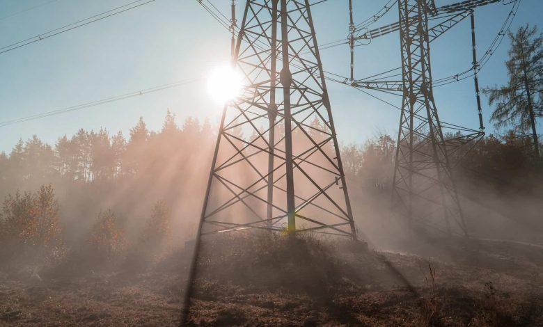
Challenges and the Future of Remote Sensing in Vegetation Management
Remote sensing for vegetation management, while transformative, faces several challenges and is poised for future advancements:
- Challenges in Remote Sensing for Vegetation Management:
- High-Resolution Imagery Costs: Essential for accurate monitoring, high-resolution imagery incurs significant expenses, influenced by factors such as resolution, coverage area, and the provider.
- Data Quality and Weather Impact: Weather conditions can severely affect data quality, necessitating robust calibration and validation to ensure accuracy.
- Complex Data Handling: The vast and complex nature of remote sensing data requires skilled personnel for effective processing and analysis.
- Future Prospects:
- Technological Advancements: New sensors and platforms are being developed to enhance the accuracy and cost-effectiveness of remote sensing, potentially allowing for real-time monitoring.
- AI and Machine Learning Integration: These technologies are set to revolutionize data analysis, facilitating predictive modeling and improved decision-making processes.
- Climate Change Studies: Remote sensing is increasingly vital in studying the impacts of climate change on vegetation.
- Security, Privacy, and Regulatory Challenges:
- Data Protection: With the use of various cookies and tools like Google Analytics and Cloudflare, security and privacy remain paramount, guided by regulations such as GDPR and CCPA.
- Analytical Tools: The deployment of specific analytical tools requires careful consideration to balance functionality with user privacy and data security concerns.
These elements highlight the intricate balance between leveraging advanced technologies and addressing the operational challenges within the field of remote sensing for vegetation management.